Screenshot
The VCAN Community Mapping Project was supported by the City of Victoria’s My Great Neighbourhood Grant (Resilience), and was conducted on the traditional, ancestral, and unceded territory of the lək̓ʷəŋən speaking peoples, known today as the Songhees and Xwsepsum Nations. This initiative focused on the Kwetlal food system, also known by it’s colonial name as the Garry oak ecosystem, which lək̓ʷəŋən families have nurtured for generations.
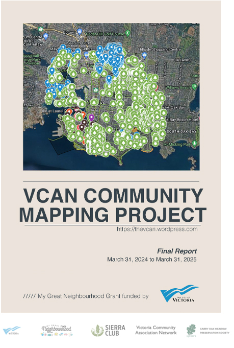
Running from March 2024 to March 2025, the project team aimed to assess biodiversity distribution within Victoria’s neighborhoods on private property, complementing the city’s existing tree inventory on public land. The urban area of the City of Victoria is the Garry oak ecosystem (GOE)–– a fact often left out of discussions on the urban forest.
The Garry oak, a vital keystone species, supports over 1,645 co-evolved species, making its preservation crucial. This ecosystem’s unique genetic adaptations would be difficult to re-introduce if lost. With continued intentional inputs drawing from lək̓ʷəŋən knowledge, human and non-human populations may continue to benefit from this highly adaptable and long-lived plant community
Project Objectives:
– Enhance awareness of cultural ties to the territory and the effects of settlement.
– Foster connections between residents and the urban natural environment.
– Develop a more complete map of Garry oaks and biodiversity elements.
– Identify wildlife corridors for organism movement between complex ecosystems.
The project’s outcomes aim to inform ecological and cultural restoration, urban development, park acquisition, and canopy equity initiatives.
Effective city planning that incorporates wildlife habitat necessitates interdisciplinary collaboration. Urban policies must engage experts, including arborists, ecologists, and Indigenous consultants, to ensure that wildlife is considered in urban forestry strategies. The ongoing commitment of city leadership is crucial for implementing the Urban Forest Master Plan (UFMP) priorities.
Key questions emerged: How do we connect people to this place rather than just through conservation and biodiversity? How do you preserve something that is not rightfully yours?
Phase 1 Highlights:
– Development of an interactive web map accessible and editable by community members.
– Creation of tutorials for mapping significant areas.
– Organization and conversion of data for analytical purposes.
– Preliminary habitat analysis for statistical assessment.
The VCAN Mapping Team also initiated a letter for discussions with builders and developers to address land use changes impacting the Garry oak ecosystem. Existing regulations, such as the Tree Protection Bylaw (2021) and the Urban Forest Master Plan (2013), were developed prior to the “Victoria 2050” Draft OCP (2025) and do not reflect current development pressures.
This project serves as a catalyst for dialogue to foster cultural and ecosystem awareness, ultimately promoting a healthier urban canopy and ecosystem through collaborative efforts.
Final Report – VCAN Community Mapping Project (.pdf) (March 2025)
Presentation Slides
Presentation slides by Carollyne Yardley (.pdf) (Rockland Neighbourhood)
Printed slide deck at wrap up event by Jacklyn Jolicoeur (.pdf) (James Bay Neighbourhood)
Mapping Tutorials
VCAN Mapping Tutorial (.pdf) (Cedar Shore Consulting)
Ken Wong’s Organic Maps Tutorial (.pdf) (Hillside/Quadra)
Preliminary Suitable Habitat Analysis
Preliminary statistical analysis of environmental characteristics at mapped Garry Oak Tree locations (.pdf) (Cedar Shore Consulting)
Dear Developer: An Earthly Invitation template (.pdf) (March 2025)